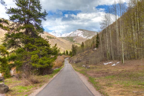
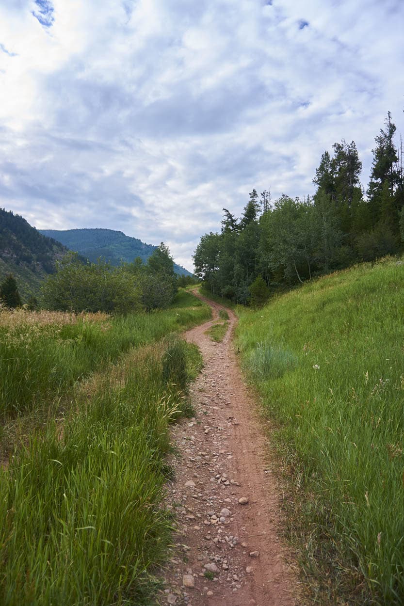
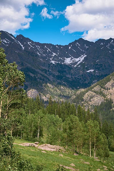
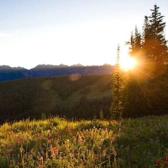
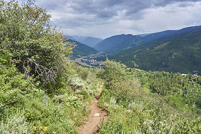
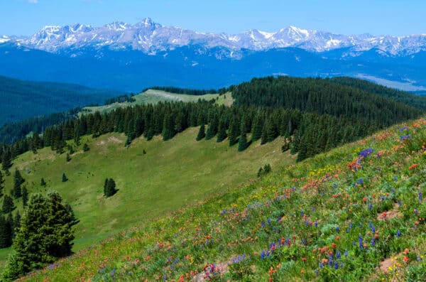
Please ensure Javascript is enabled for purposes of website accessibility
Skip to content
Three women walking in a grassy meadow with mountains in the background in Vail, Colorado.
Meadow mountain dirt trail amongst grassy field with mountain in distance
Grassy area along trail
Mountain views along Upper Piney River Trail
wildflower field Vail

Ridge Route Trail

Distance
1.4 miles (one way)
Difficulty
Intermediate
Crowds
High

Finding this popular trail can be a bit tricky for first-timers. From the Eagles Nest gondola area head south towards signs for Game Creek. Shortly after, at a junction where several service roads converge from the Eagles Nest Ridge, look for the Grand Traverse bike trail signs. Pass Grand Traverse and continue up the service road for another 20 yards until you spot the Ridge Route trail marker.

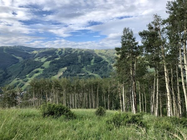
Initially, Ridge Route runs parallel to the Grand Traverse trail but gradually diverges, leading you across ski runs, wildflower meadows, and shaded groves. Near the top, Ridge Route intersects with Ptarmigan Loop but officially concludes at the summit of Game Creek bowl. From here, you can choose to either switchback to the top of the Wildwood ski lift or bushwhack a few feet up to the Game Creek ski lift.

Ridge Route Trail

Care for Colorado: Leave No Trace

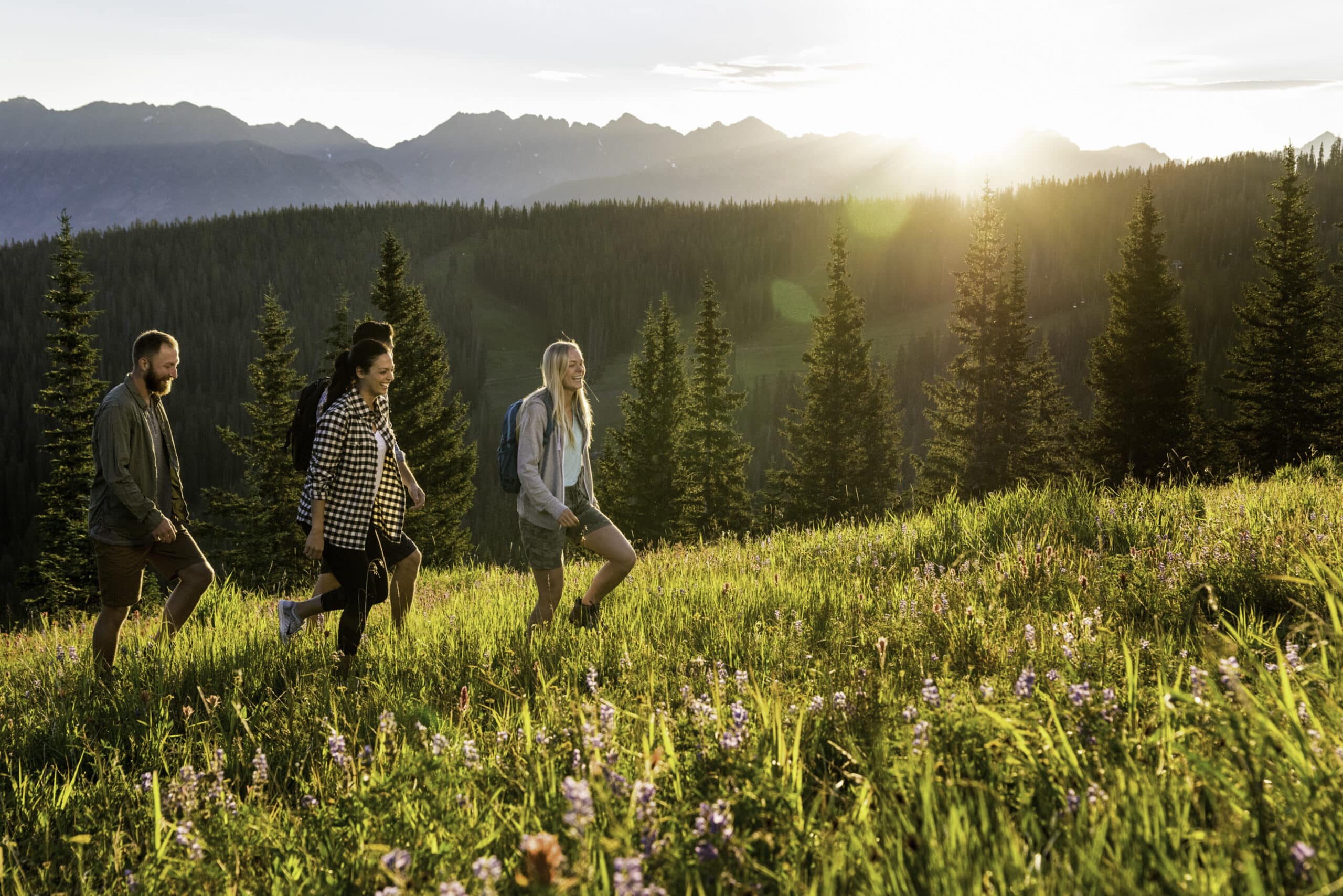
Exploring Vail goes hand in hand with caring for our beautiful natural environment. Here’s how you can do your part!

Stay on the Trail

No shortcuts — going off trail compromises trail construction, kills the vegetation, increases soil erosion and may result in reduced water quality.

Pack Out Trash

Stash it until you can trash it — anything you bring with you, you must pack back out. Trash can hurt wildlife and contaminate water ways.

Dog Do's and Don'ts

Do pick up the doo — pack out all dog poop. Don’t let dogs off leash to protect them from wildlife and protect wildlife from them.

Respect Wildlife

Give them space — observe wildlife from a distance and do not follow or approach them. Never feed animals as it can alter their behavior.

Plan Ahead

Take the trail less traveled — there are more than 100 miles of hiking trails in the Vail area! Use the trail guide to discover area trails and, whenever possible, ride a bike or take a free Town of Vail bus to the trailhead.

Dogs & Leashes

Dogs are allowed in the White River National Forest, but may not be on permitted in certain areas of Vail Resorts. Please adhere to any posted signs. We recommend that you keep your dog on a leash when you are in Vail Resort and around other forest users, other dogs, or are in bear country.

Explore Other Hikes

lost lake

Lost Lake Trail

Lost Lake Trail offers a scenic and moderately challenging hike suitable for trail runners and mountain bikers alike. The trail starts at the Lost Lake West Trailhead and spans 6.8... (Read more)
Piney Lake near Vail glimmers in shadows with rugged mountains all around it. The sky is cloudy with just a hint of blue peeking out.

Upper Piney River Trail

Upper Piney Trail, located near Vail, Colorado, is a 6-mile out-and-back route that offers a moderately challenging hike with diverse scenery. Starting at Piney Lake, one of Vail’s most picturesque... (Read more)
group hiking

Shrine Ridge Trail

Shrine Ridge Trail begins at the trailhead located off I-70, leading hikers through lush alpine meadows adorned with vibrant wildflowers during the spring and summer months. As you ascend, you’ll... (Read more)
Buffehr Creek to Red Sandstone Gallery 1

North Trail (Buffehr Creek to Red Sandstone)

Closed April 15-June 20 From the Buffehr Creek trailhead, cross the bridge and proceed about 1/4 mile before turning right at the first junction (the trail to the left takes... (Read more)
Deluge Lake

Deluge Lake Trail

The Deluge Lake Trail splits from the Gore Creek Trail about 0.1 mile from the Gore Creek trailhead. Take this left onto the narrow trail which heads north before curving... (Read more)
Booth Falls Vail

Booth Lake Trail

There is no parking at the Booth Lake Trailhead or anywhere in the surrounding neighborhood. Violators will be towed. Private vehicle drop-off and pick-up at the trailhead are allowed on... (Read more)
Son of Middle Creek hillside along trail

Son of Middle Creek Trail

CLOSED April 15 – June 20 Son of Middle Creek trail ascends the hillside on the north side of I-70, offering views of Vail Mountain and the Town of Vail.... (Read more)

Ptarmigan Loop

If you’re a fan of wildflowers and stunning vistas, Ptarmigan Loop trail is a must-visit. Starting from the end of Ridge Route and the peak of the Game Creek ski... (Read more)
Gore Valley Trail

Gore Valley Trail (Vail Village towards East Vail)

Gore Valley Trail is a picturesque, mixed-use paved path stretching from Dowd Junction to East Vail, predominantly following the serene Gore Creek. This 12-mile trail includes dedicated pathways as well... (Read more)